Erik Lizee Discusses an Open Source Exhibit on the Gulf Oil Spill of 2010
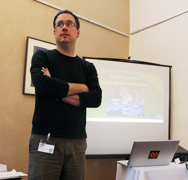
Erik Lizee, Director of Exhibit & Media Development at McWayne Science Center & Aquarium presented on the potential of utilizing real-time oil spill data from NOAA to create an interactive, comprehensive exhibit. Faced with time constraints, they turned to Ideum to help make it happen.

Initially, the display ran into several roadblocks. One was that children were intuitively trying to pinch the maps, the way one would use an iPad or similar device to shrink or enlarge an image. While this feature was fixed to accommodate users, it made the multitouch exhibit unstable. An orb was applied to assist with navigation, making exhibit control a one-handed operation. Map viewing and picture manipulation soon became a gateway for social interaction.
“The person that has control of the board also has control of the photography and people will even tell them, “do this to the photo”!
“Is it a social interaction if one person is saying “Here do this, do that!” says Lizee.
Another problem with navigation of ocean maps was that users didn’t have much of a focal point. Unlike maps with roads or landmarks, ocean maps lack markers that can help orient users.
“People will look for a geographical location and will navigate from there” noted Lizee. “Obviously, with the gulfs, having good maps, which this does have, is essential.”
The maps of the gulf draw visual content from Flickr. In the California Science Center, the distribution of images is designed for the exhibit. All images used are dedicated to the public domain and come from individual and governmental sources.
The large number of Flickr images results in a “cluster” effect as users try to navigate the table exhibit. This has a tendency to create clutter on the interface. Developers are currently working to increase visibility and provide a cleaner display.
Jim Spadaccini, creative director of Ideum, addressed this by stating, “I think we need to figure out how do deal with the clustering images, how to take another pass at the orb concept and make that a little more intuitive, and figure out if this can be done, whether the data sources are available.”
A number of future features were discussed with a goal of creating a more robust template for museums to adapt and deploy. Developers hope to improve the Orb feature so that multiple users could control the maps. They would also like to replace current images with smaller, less intrusive thumbnail-size photos, as well as incorporate more detailed information into the maps. Individual museums will have the ability to empower the public to submit images to the exhibit.
A basic universal mapping app is being prepared for release later this year.
by Sanford Clark ![]() on March 15, 2011
on March 15, 2011